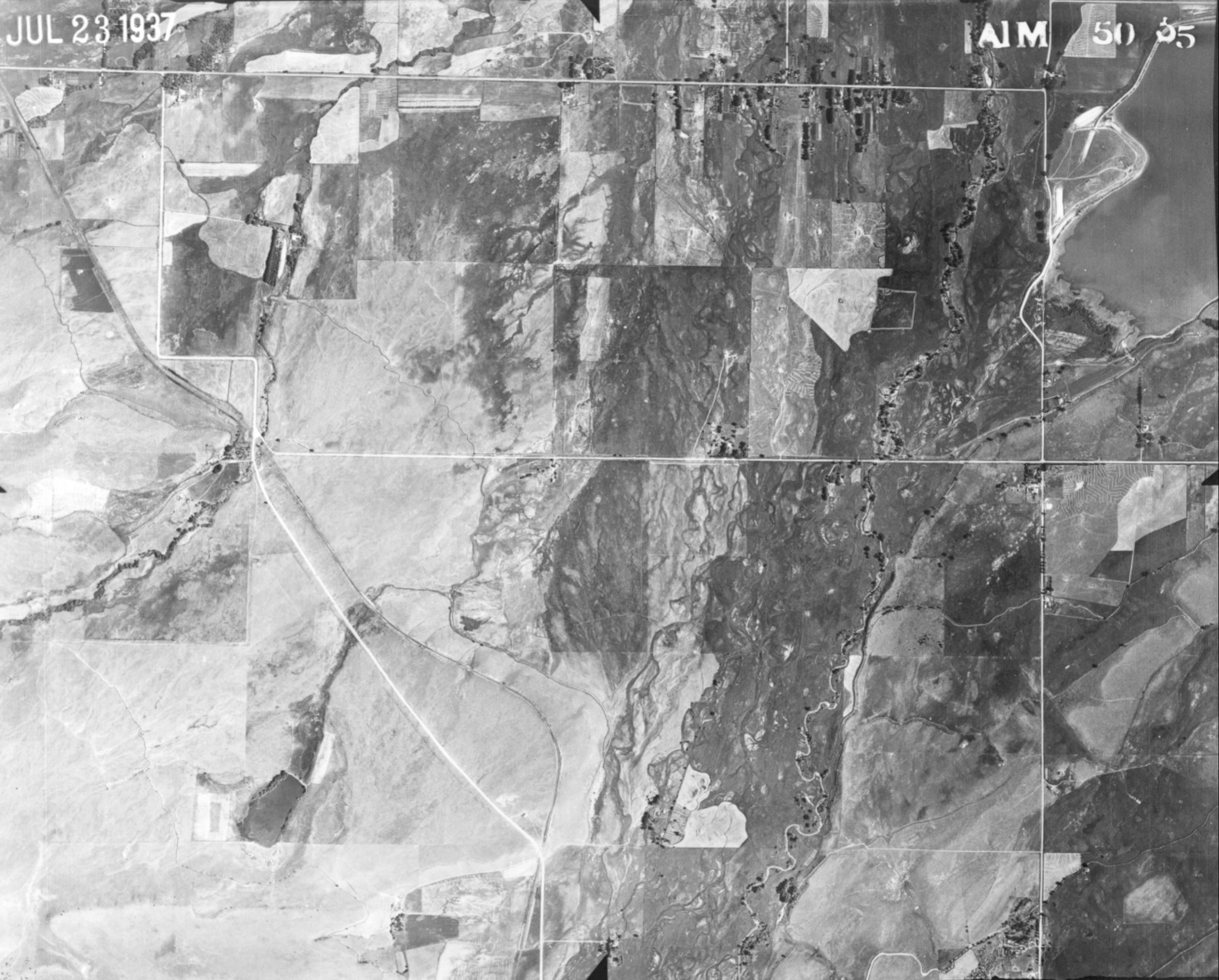
Fifty Years Along South Boulder Creek
This uncropped image was taken by in July of 1937 by US Forest Service aerial survey crews, shows Baseline Road cutting across the upper part of the photograph. paralleled by South Boulder Road, with Cherryvale Road on the right edge of the image. Some agriculture is evident in the broad floodplain, but little housing. Select here to go to the July 1987 image.


Thank You! BASIN was a community project which benefitted from over 1000 hours of public volunteer time. BASIN was highlighted by the US EPA in a national case study in its 2001 handbook Delivering Timely Environmental Information to Your Community. Thank you to all volunteers, and especially to the late Jim Waterman, BASIN Project Coordinator!

BASIN was supported by the US EPA, the City of Boulder, WASH, BCWI and BCN
Home | Site Map | Glossary | Bibliography | Contributors
About BASIN | Attribution | Feedback | Search