|
|
Stream Flow Monitoring Sites |
|
|
|
Stream Flow Monitoring Sites |
The following image map displays historic and real time stream flow gaging sites available in the Boulder Creek Watershed from various local, state, and federal sources. If your browser has javascript enabled the name and type of gaging station will be displayed in the following text box when the mouse is placed over the site icon. Selecting the site will provide access the data available for the gage. Additional flow data and information is available from the sites listed below. General information about stream flow measurement and significance is available on the BASIN Streamflow page.
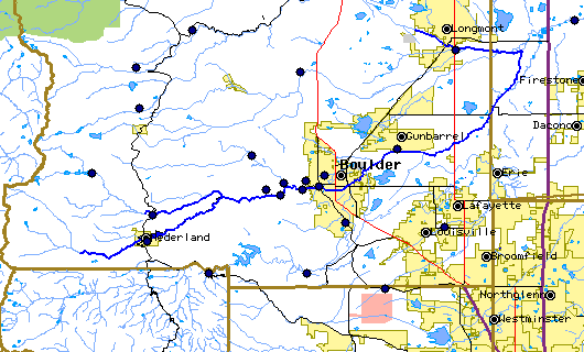
Select on the site icon to view available information for at that site.
|
| |||||||
|
About BASIN | Attribution | Feedback | Search | |||||||