City of Boulder Storm Water Quality Program
Boulder Creek Watershed Watershed
Boulder Creek
Longitudinal Water Quality Data Profiles for May, 2002

Preliminary Data - subject to revision


FColi Plot
Marker Indicates no data available
Marker Indicates data exceeds plot scale.
Data Source: City of Boulder Storm Water Quality Program
Point of Contact: Jim Stout
Collection and Analysis notes

Indicated monitoring site:

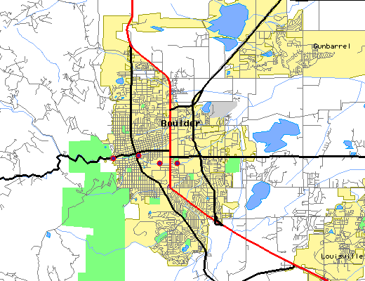
The above map indicates water quality monitoring sites. To view data at a specific site select it from the map with the mouse.


Plot Label SiteName FColi
#/100 mL
BC-EFP Boulder Creek at Eben G. Fine Park 16*
BC-CP Boulder Creek at Central Park 150
BC-CU Boulder Creek below CU Stadium 110
BC-SCP Boulder Creek at Scott Carpenter Park 210
* indicates measured value below analysis detection limit listed below:
Lower Detection Limit 20.0

Preliminary Data - subject to revision

Select on the parameter name to view more detailed information for that parameter in this month. Select on the site name to view data time series observed at that station. For monitoring site locations see site location map.

Return to the BASIN water quality catalog

Return to the BASIN environmental data catalog


Thank You! BASIN was a community project which benefitted from over 1000 hours of public volunteer time. BASIN was highlighted by the US EPA in a national case study in its 2001 handbook Delivering Timely Environmental Information to Your Community. Thank you to all volunteers, and especially to the late Jim Waterman, BASIN Project Coordinator!

Home | Site Map | Glossary | Bibliography | Contributors
About BASIN | Attribution | Feedback | Search
Last Page Update - Wednesday December 28, 2005
IMS support provided by Enfo.com