US Forest Service photographic survey
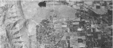
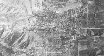
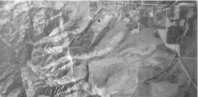
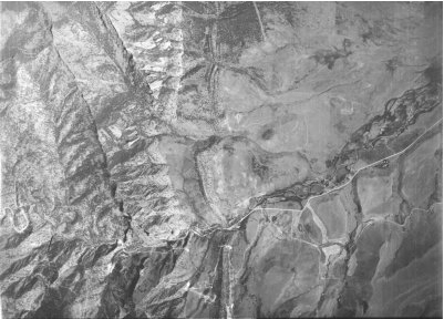
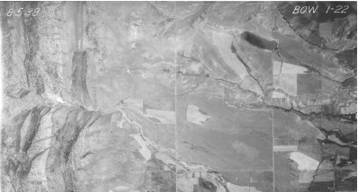
August 5th, 1938 Aerial Photographs of the Boulder Area

Aerial photos of the foothills near the city of Boulder taken in 1938 as part of a survey conducted by the US Forest Service. For information on how to obtain these and other aerial photos from the Forest Service archives, contact Bob Malcolm of the Forest Service at (303)275-5350."

Four Mile Canyon Creek emerging from foothills
Wonderland Lake and Two Mile Creek in north Boulder near Iris Avenue
Boulder Creek running through center of town to east of 30th Street
Flatirons with Skunk Creek mid image and Bear Creek in lower right corner
Bear Creek Canyon
South Boulder Creek and Eldorado Springs a month before floods destroy much of Eldorado Spring resort.

INVITATION BASIN is a community project actively seeking public participation. We appreciate all feedback and welcome comments, suggestions and contributions. To find out more about how you can be involved, click here. Help BASIN serve your needs, take our "10 questions in 10 seconds" survey.

BASIN is supported by the US EPA, the City of Boulder, the Keep it Clean Partnership, BCWI and BCN

Home | Site Map | Glossary | Bibliography | Contributors
About BASIN | Attribution | Feedback | Search
Last Page Update - Wednesday December 28, 2005