Fifty
Years Along South Boulder Creek
Fifty
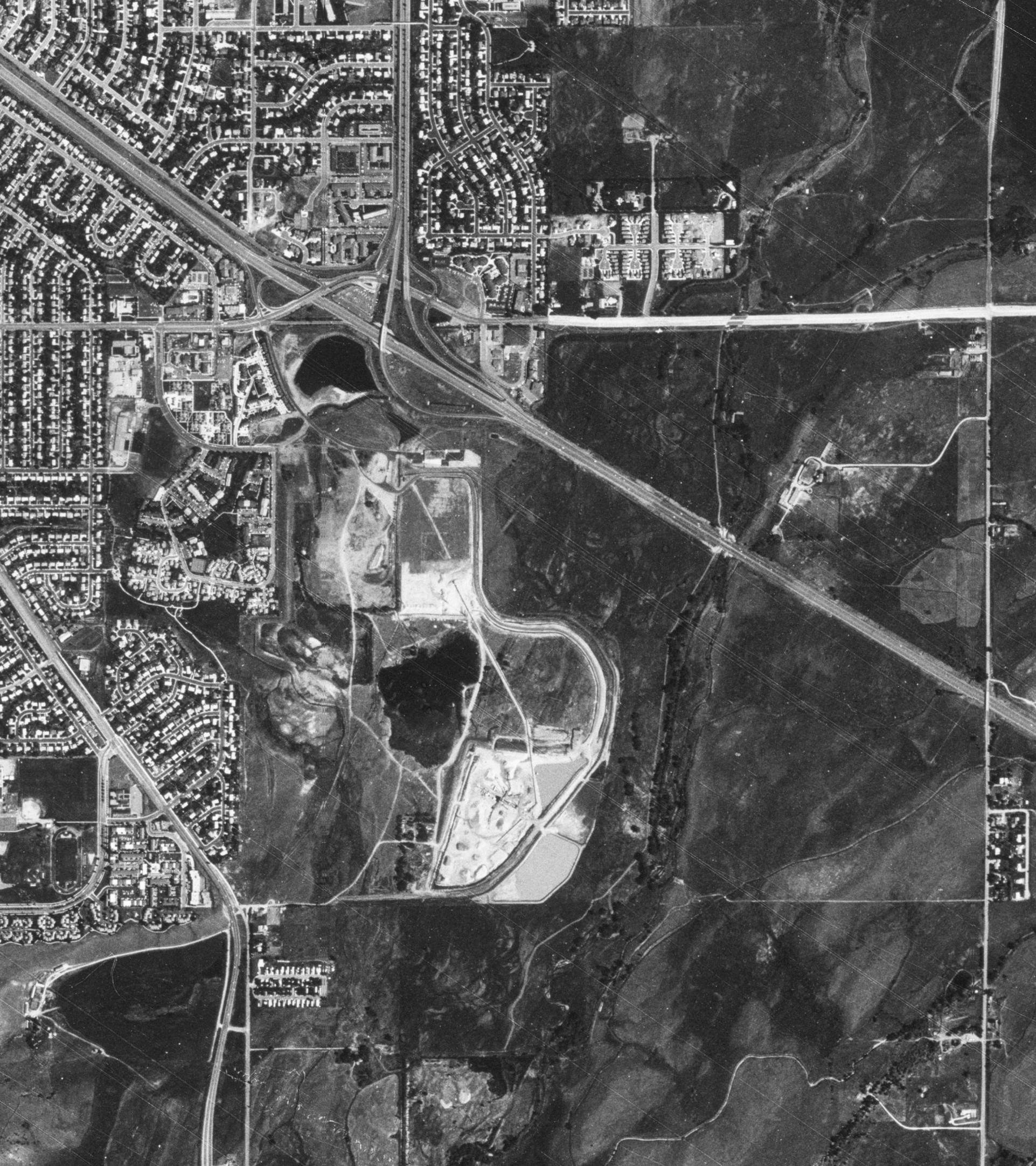
Years Along South Boulder CreekSoviet spy satelite image taken in July of 1987 from an altitude of over 200 km.,
shows U.S. 36 running diagonally through the upper part of the image.
Select here to go to the 1937 image of the same area.
Fifty
Years Along South Boulder Creek
Soviet spy satelite image taken in July of 1987 from an altitude of over
200 km.,
shows U.S. 36 running diagonally through the upper part of the image.
Select here to go to the 1937 image of
the same area.
|
|