| |
Boulder Creek Watershed 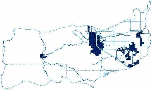
Map of the political boundaries and major highways within the Boulder Creek
Watershed from The Many Voices of the Boulder Creek Watershed, copyright
by The Naropa Institute.
For a map of the natural hydrologic system of the Boulder Creek Watershed
(and an idea of how this system looked prior to 1860 when water development
began) click here.
INVITATION
BASIN is a community project actively seeking public participation. We
appreciate all feedback and welcome comments, suggestions and contributions.
To find out more about how you can be involved, click here. Help BASIN serve your needs, take our "10 questions in 10 seconds" survey.
|
|
| BASIN is supported by the US EPA,
the City of Boulder, the Keep it Clean Partnership,
BCWI
and BCN
| |
|
Home
| Site Map
| Glossary
| Bibliography
| Contributors
About BASIN
| Attribution
| Feedback
| Search
|
Last Page Update - Wednesday December 28, 2005
