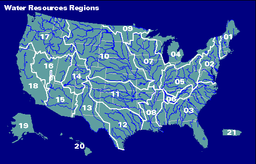
USGS Map of major basin drainages in the contiguous United States.
The Boulder Creek Watershed is in Unit 10, the Missouri
River Basin, which in turn flows into
units 07 and 08, the upper and lower Mississippi Basins.
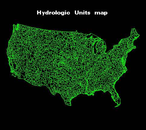
USGS Map of major basin drainages in the Hydrologic Units in
the contiguous United States.
Can you find approximately where the St. Vrain and Boulder Creek Watersheds
would be located?
Use your back key to return to the previous page.
Thank You!
BASIN was a community project which benefitted from over 1000 hours of
public volunteer time. BASIN was highlighted by the US EPA
in a national case study in its 2001 handbook Delivering Timely Environmental Information to Your Community.
Thank you to all volunteers, and especially to the late Jim Waterman, BASIN Project Coordinator!