
|
|
|
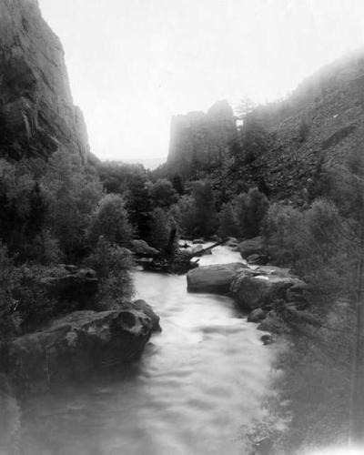
Located at the mouth of Eldorado Canyon on South Boulder Creek, Eldorado Springs resort had its boom in the 1920s. A flood in September of 1938 destroyed the dance hall and nearly washed away the swimming pool. Flooding is still a concern along the creek, including near US Highway 36 where FEMA officials are calling for a new flood map study due to flaws in previous maps. South Boulder Creek has numerous diversions, such as the Community Ditch, diverting water for various municipal and industrial purposes, including use at the coal-powered Public Service Valmont Power Plant near Arapahoe Avenue and 63rd Street.
| Image/Location | Date | Photographer | Source/Copyright |
| Eldorado Canyon from Above | Unknown | Unknown | DPL Western History |
| Eldorado Canyon from behind Resort | Unknown | Unknown | DPL Western History |
| Community Ditch Diversion Dam | around 1933 | Muriel Sibell Wolle | DPL Western History |
| Eldorado Springs Pool | 1904 | Unknown | DPL Western History |
| Eldorado Canyon | 1930s | Muriel Sibell Wolle | DPL Western History |
| Eldorado Springs Resort | 1930 | Unknown | DPL Western History |
1938 Flood on South Boulder Creek
| Image/Location | Date | Photographer | Source/Copyright |
| Flood 1938- Resort | 4-Sep-38 | Unknown | DPL Western History |
| Flood 1938- Closeup of Dancehall | 4-Sep-38 | Unknown | DPL Western History |
| Flood 1938- Houses on the brink | 4-Sep-38 | Unknown | DPL Western History |
| Flood 1938- Aftermath | 4-Sep-38 | Unknown | DPL Western History |