|
|
Map bar plots are plotted on the following scale 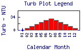  indicates no data available. indicates no data available. | |
North Boulder Creek - Boulder Creek Turbidity Time Series for 1999 |
|
|
Map bar plots are plotted on the following scale indicates no data available. | |
North Boulder Creek - Boulder Creek Turbidity Time Series for 1999 |
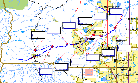
Select on the map plot to view detailed time series information for Turbidity at that site. Select on the site icon to view time series information for all parameters at that site.
Turbidity
is a measure of the cloudiness of the water. Cloudiness is caused by suspended solids or organic matter including silt, microorganisms, plant fibers, sawdust chemicals and coal dust. High levels of turbidity can block light from reaching submerged aquatic vegetation and can raise surface water temperatures because the suspended particles absorb heat from sunlight. The most frequent causes of turbidity are from logging, road and building construction, and mining activity. Turbidity affects fish by decreasing light penetration thus reducing the amount of photosynthesis taking place in the water. This reduces the amount of oxygen available to fish. Large amounts of suspended solids can also clog fish gills, and it affects their ability to see and catch foo | |||||||||
| |||||||||