 |
|

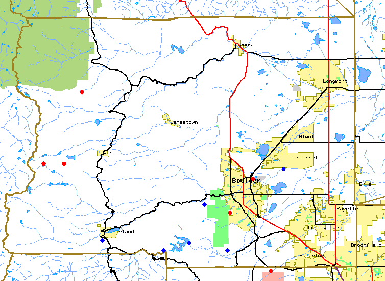
The above map is intended to form the basis of a spatial catalog of Boulder area time-relevent environmental data sites publically available through the internet. As the BASIN project resource team becomes aware of additional sites they will be added to the map for future evaluation.
| Current data types | Suggested sites to be added to map |
|---|---|
| Weather (Misc) | Toxic Release Sites(EDF TRI) |
| Stream Flow (CODNRC) | Snowfall and Snow Pack Depth (SNOTEL) |
Background map image is provided from the US census tiger map database. Monitor location are approximate and may be in significant error.
If you know of other real time or recent information about the Boulder Creek Watershed or Boulder County accessible through the net please email us at or use this form.
If your browser supports client side image maps the type and name of each data site indicated on the map below will be updated in the following text box. Selecting a station will jump to the data page for that station.
To make this page your default homepage, go to "Options" in your browser window, then "General Preferences". Under "Appearance" find "Browser Starts With" or a similar description, and type the above url address in where there is a field to the "home page" address. You will need to refresh the screen in order to get the most recent updates on current conditions.